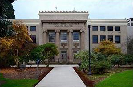
Washington County Motor Vehicle Car Accidents were second highest to Multnomah County in all of Oregon for the greatest number of motor vehicle accident related injuries in 2021.
*data from Oregon Department of Transportation (ODOT) Crash Summary 2021
| COUNTY |
TOTAL CRASHES |
PEOPLE INJURED |
FATALITIES |
| Multnomah |
7972 |
6313 |
80 |
| Washington |
5430
|
4668 |
21 |
| Marion |
4467 |
4236 |
68 |
| Clackamas |
3757 |
3268 |
36 |
Some of Oregon's most dangerous roads and intersections are in Washington County, these won't be a surprise to folks who navigate the Portland Metro.
Traffic data lags, in 2023 we finally have a more complete data to see 2021. Yet, year to year, the same dangerous roads are known and the crashes, injuries and fatalities continue. The Safety Priority Index System, compiled by ODOT, compares the number of crashes on the entire roadway network in Oregon, including city and county roads and state highways and from this, we can see a bigger view of where transportation engineers see the most dangerous roads.
4 out of the most dangerous 10 are all in Washington County, or where Multnomah County and Washington County are closely adjacent.
1. SW Canyon Road at Highway 217 interchange (Beaverton)
Average Daily Traffic: 19,500
Total Crashes: 90
Fatal Crashes: 0
Injury Crashes: 37
2. Sunset Highway approaching Vista Ridge Tunnels (The Sunset Highway portion of US 26 refers to an approximately 75 mile portion of the highway from downtown Portland at Interstate 405 westward through; Washington County, Tillamook County and Clatsop County to US 101).
Average Daily Traffic: 67,600
Total Crashes: 187
Fatal Crashes: 0
Injury Crashes: 89
5. SW Beaverton Hillsdale Highway at Highway 217 interchange (Beaverton)
Average Daily Traffic: 32,600
Total Crashes: 104
Fatal Crashes: 0
Injury Crashes: 52
10. Tualatin Valley Highway near SW 185th Ave. (Aloha)
Average Daily Traffic: 38,377
Total Crashes: 100
Fatal Crashes: 1
Injury Crashes: 54
Although only number 10, Tualatin Valley Highway near SW 185th Avenue in Aloha deserves more attention for the problems and dangers presented in this area.
The outskirts of Washington County, like Clackamas County, and really much of Oregon, are the edges of rural old farm roads meeting urban roads, and increased number of people driving them.
And 2023 has seen the alarming trend of traffic fatalities and serious injuries continue to rise.
Traffic deaths going up in Hillsboro despite safety initiatives
In Hillsboro, Tualatin Valley Highway, also called Oregon Highway 8, is the main arterial road that's under state jurisdiction. (Oak and Baseline streets are also part of this highway.) ODOT also has responsibility over Sunset Highway, also called Highway 26, a relatively short segment of which passes through Hillsboro. [...] The biggest culprit of serious injury crashes and fatalities is Tualatin Valley Highway, which saw 17 deaths in from 2010 to 2019, the most recent year for which ODOT provides detailed data. According to data provided by the Hillsboro Police Department, there have been four deaths on the road over the past two years.
In recent years, the intersection of TV Highway at Cornelius Pass Road has been one of the most dangerous within city limits.
Both the Portland Police Bureau and Washington County Sheriff's Office urge drivers to be cautious after what's been a particularly dangerous month on the roads.
"Throughout the whole year in Washington County, we've seen a huge uptick in fatal crashes countywide," said Sgt. Josh Wilson with the Traffic Safety Unit. "I think that by the end of this year if we stay on the pace that we're at, we are looking at probably close to 40 fatal crashes."
Washington County has great cycling and hiking opportunities outside of Hillsboro, Beaverton, Forest Grove, and other urban centers.
The cycling and walking within Hillsboro, Beaverton, even Aloha, Tigard etc. are fairly hostile to those outside of a vehicle, not too many bike lanes, difficult crossings for pedestrians etc.. The Banks - Vernonia Rail to Trail is one of the stars, but there are more, and more coming (Council Creek Trail is in development and will offer a 15-mile trail will link Hillsboro, Cornelius, Forest Grove and Banks offering walkers and cyclists safe, enjoyable connections to jobs, schools, transit, recreation opportunities and nature). North of Hillsboro is the Helvetia area with pastoral rolling farmlands. South of Hillsboro are the Chehalem Mountains, with Bald Peak as the high point. Connections to Forest Park, Firelane 5 Road, Saltzman Road also offer a lot of mountain bike, gravel bicycling opportunities. And for the adventurous, there is the approximately 50 mile Tualatin Valley Scenic Bikeway.
Washington County At A Glance
 Emily Hsu


